Monday to Saturday - 8:00 -17:30
Most Adventurous and Deadliest Roads in India
Are you up for an insane adventure? If your response is yes, then think twice because after reading this article, you might want to switch your decision. Today, we’re going to be discussing the most dangerous and deadliest roads in India that are any driver’s nightmare!
The narrow roads, sharp turns, low hanging cliffs, and harsh climatic conditions can lead them to death beds, instead of the planned destination.
Killar to Kishtwar
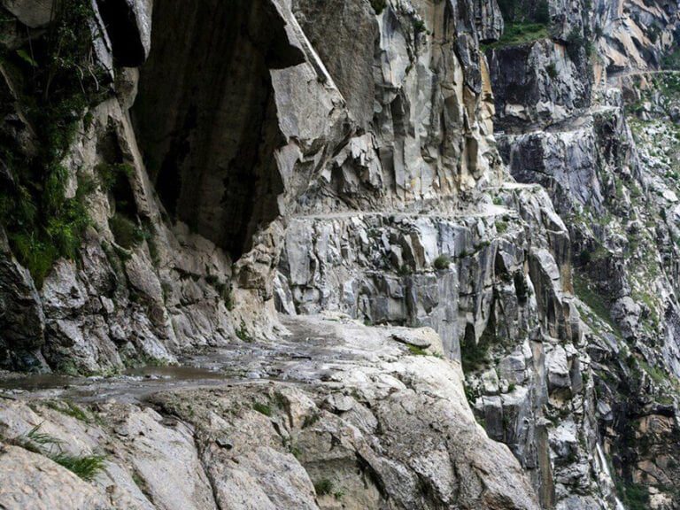
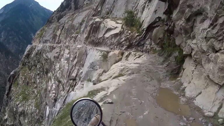
Route between Killar to Kishtwar is a replica of Kishtwar Kailash Highway, much like its twin. This route has low hanging cliffs, no guard rails, sharp turns, and of course, it is very narrow. You will want to think about passing this road even in the daytime.
Location of Killar – Kishtwar Route: Pangi Valley, Himachal Pradesh
Chang La Pass
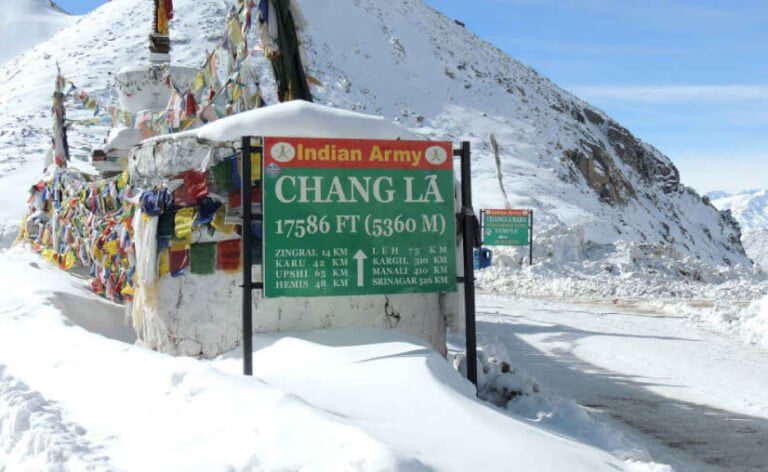
Known as the third Highest Motorable Route in the World, Chang La Pass is located at an altitude of 5,360 m above the sea level. The road has snow all year round and it makes the road slippery. Also, you will feel the change in your breathing as the level of oxygen is very less here.
Location of Changa La Pass: It is located between Pangong Lake and Leh in Ladakh.
Zoji La Pass
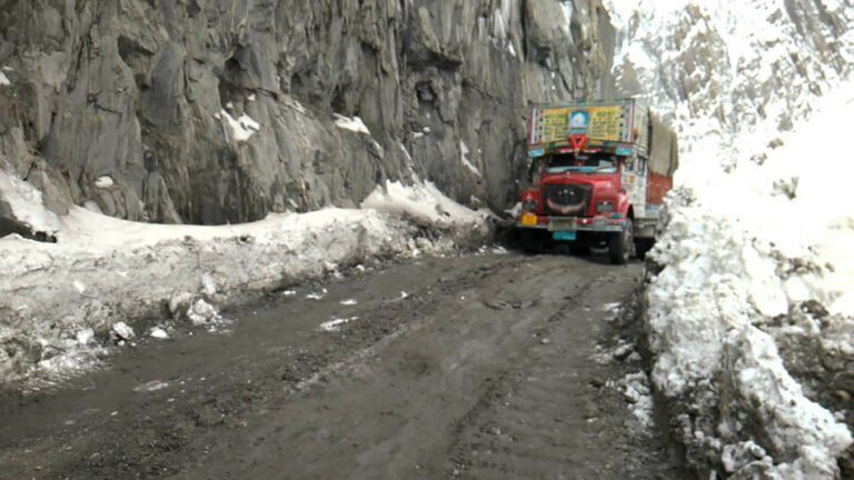
Zoji La Pass is located at an altitude of 3,538 m above sea level. This road is extremely narrow and slippery due to the snow and dirt mix that is present throughout the year. Zoji Pass gets quite muddy in the rain because of which the roads get blocked during the storms. Moreso, the frequent landslides have made Zoji La Pass a scary road.
Location of Zoji La Pass: It is 9 km away from Sonamarg in Jammu and Kashmir.
Rohtang Pass
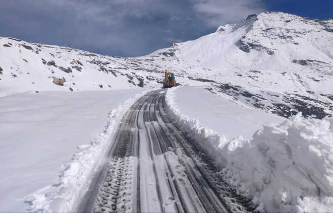
Rohtang pass is the passage connecting Manali to Leh and Lahaul – Spiti. It is an elevation of 3.979 m above sea level and is almost 479 km long dangerous route. The snow-capped roads are highly prone to landslides resulting in awful accidents, especially in the places that have mountains on both sides.
Location of Rohtang Pass: It is a route pass that connects Leh to Manali and is 53 km away from Manali.
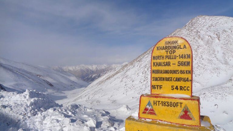
Khardungla Pass
The first thing to know about Khardungla Pass is its height. At what height its located? This dangerous road is at a height of 5,602 m above sea level. More importantly, if you ever pass this road know that it is not paved and is very slippery due to the presence of frozen ice and dirt. The sharp turns of Khardungla Pass terrify even the most experienced drives of this region.
Location of Khardungla Pass: It is located in Ladakh on the Caravan Route that used to be the Silk Route between India and China.
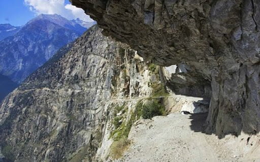
Kishtwar to Kailash
This highway is so narrow that more than one vehicle cannot pass this at a time. It is by far the most dangerous road in India out of all. The overhanging cliff at this road is so low that a car would barely fit it. Filled with rocks and soil, Kishtwar Kailash Highway extends from Jammu and Kashmir to Himachal and leads you to Pangi Valley. Any wrong move at this road will take you 1000ft down into the river Chandrabhaga.
Location of Kishtwar Kailash Highway: Located in the eastern part of Kishtwar District of Jammu.
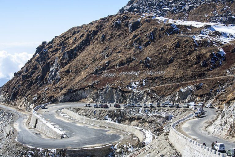
Nathula Pass
Known as the pass of the listening ears, Nathula Pass route is extremely prone to landslides and snow silt in winter months. Be careful while traveling here as the roads are very slippery.
Location of Nathula Pass: It is located 54 km east of Gangtok, near Tsomgo Lake and Indo-Chinese Border in Sikkim.
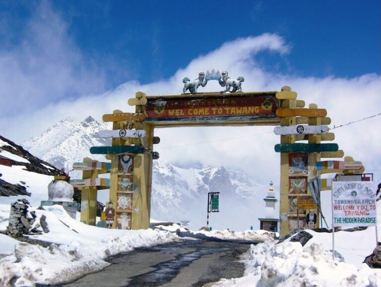
Sela Pass
Sela Pass is located at an elevation of 4,170 m above sea level. This high mountain pass is known for its sharp turns and slippery curves that can be very dangerous. Drivers can face difficulty here as there is snow all around the year. So, you are suggested to drive really slow!
Location of Sela Pass: It is located in the Tawang District of Arunachal Pradesh. This road connects the Buddhist city of Tawang to Tezpur and Guwahati.
Kolli Hills
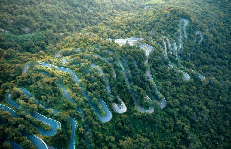
Kolli Hills or Kolli Malai is a tall hill range located in central Tamil Nadu in the Namakkal district. The mountains are about 1370 m in height and cover an area of approximately 280 km². The Kolli Hills has 70 hairpin bends to reach the top of the hills. These hills are in the Southern part of the Eastern Ghats, which is a mountain range that runs mostly parallel to the east coast of peninsular India. The mountains are relatively untouched by commercial tourism and still retain their natural beauty.
Location of Kolli Hills: Kolli Hills or Kolli Malai is a tall hill range located in central Tamil Nadu.
If you are reading this then, please send your thoughts in the comment box. Thank you!
Disclaimer: We do not take credit for some of the licensed paid images used in our blogs, whether from Google Images, Fotolia & Shutterstock.
All such images are the copyrights of their respective owners and we try to provide credit for them wherever we can. If, however, any copyright image has been used on our blog, the concerned person can either mail us directly to remove the image or provide credit to whomsoever the image may belong.

